Thursday, July 16, 2009

July 16th (Day 9) - Grays Peak - The Set-up

Today is the day we will be climbing Grays Peak. Our day started early, with a 45 minute drive from Fraser to the exit on Route 70 (Exit #221 - Bakerville) where we will meet up with Bob & Ginny. Dave & Nitsa are planning their hike nearby at Henderson Gulch, and will meet up with us this afternoon on our way out from the trailhead.


The drive in to the trailhead is billed as a very rough 2WD road. Good clearance required and 4WD may be necessary if large ruts have formed.

We considered this a large rut !
At this point, Bob & Ginny parked their car. We couldn't fit everyone in the Edge, so Pete & Bob volunteered to start hiking up the road while Ruth, Cindy, Barb, Ginny, Jim & Karl started to drive. Karl & Jim would return to pickup Pete & Bob once the girls were dropped off at the trailhead. Another young couple had to leave their car as well, so they joined up with Pete and Bob to start hiking.


On the rougher sections, everyone except Karl would get out and direct. This gave us a little more ground clearance. We were cautious and did not have any problems.


Here's Jim, keeping an eye on our progress. We passed several other groups of hikers on their way to the trailhead. It seemed that no one was stopping to pick anyone up. We did pick up one more solitary hiker, Joe (from Tampa, FL), and gave him a lift. Somehow we squeezed him in up front with Jim and Karl.

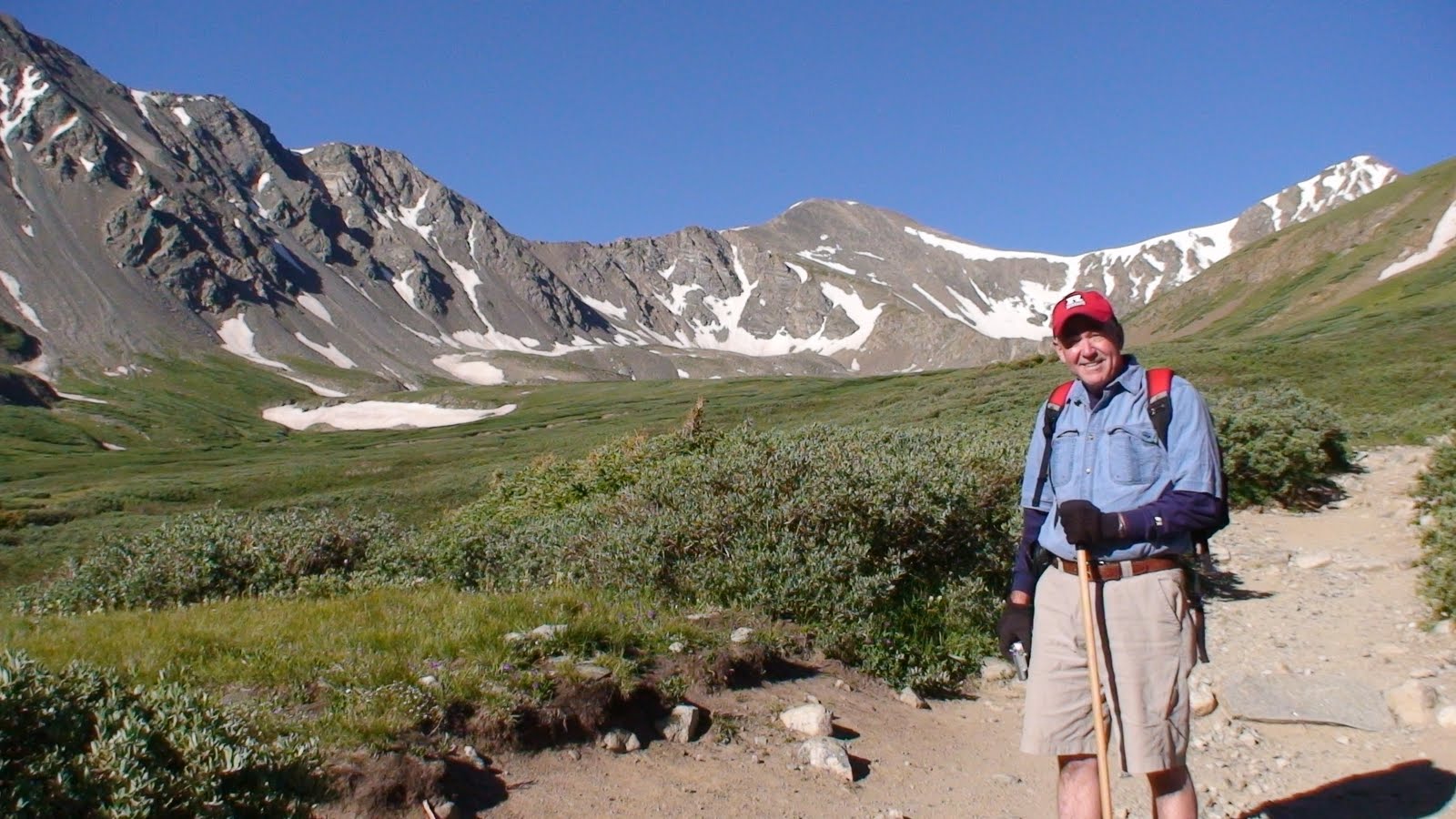
We arrived at the trailhead parking lot at 7:20 am, dropped off the girls, and started back down the road. The girls plan to start hiking and we will all meet up along the trail.

We only had to go back down the road about 1 mile before we found Pete, Bob and their 2 new friends. Everyone loaded in and we returned to the trailhead, arriving around 7:45 am, ready to start hiking at 7:50.

The weather is beautiful, sunny, windy. It's going to be a great day for a hike.....
July 2010 Postscript: The road has been improved since we were there, making it easy for a 2-WD car to drive all the way to the trailhead. Too bad, as I think our experience was made all the more memorable by the trek in...

July 16th (Day 9) -Grays Peak-Start of hike

Grays Peak
14,270 ft
Rank: 9th highest in Colorado
Rated: Class 1


This is not one of our photos, but it is representative of the time of day that we started our hike in from the trailhead. It is taken from the top of Kelso Mountain. Our hike will take us around Kelso Mountain, up Stevens Gulch, with McClellan Mountain on our left flank.


The sun had not reached down into the gulch at this time, you can see it is still at the top of McClellan Mountain. It wasn't until we had hiked for 15-20 minutes that we emerged into the sunlight.


It was very windy at the beginning. I can remember holding on to my hat to keep it from blowing off. The skies were beautiful and we were expecting a full day without rain...

What a beautiful start to the hike... there was a little creek on our left that tumbled down through Stevens Gulch. If you stopped and listened, all you could hear was the sound of the rsuhing stream and the wind. No traffic noises or other distractions.


Wildflowers were abundant along the trail.. Columbines seen here.....

Plus others......

The ladies strike a pose with our first glimpse of Grays Peak in the background.

A little further up the trail and now we can see Torreys Peak on the right of Grays..


Ginny wants to get a shot of this.....


About 1-1/2 miles into our hike, there is an information sign... We stop to check it out while caching our breath. The wind seems to have died down a bit. But I'll bet it is windy at the top.


We continue through a flat area with a creek running across the trail. We have to step across it at a few spots. Nothing like our experience at Mt. Bierstadt.


There are a couple of beautiful alpine pools with crystal clear (and COLD!) water....


Bob waits for us to catch up. The trail is great...

Off to the right is an old silver mine...

At this point there is still a lot of grass along our path, as the trail begins to wind up again...


Behind Pete is the saddle between Grays and Torreys.. still a bit of snow is some points.


Here's Cindy with a beautiful view of Kelso Mountain behind her.
Now the trail is getting rockier. It's a lot of fun now with the trail dropping down to our right, in many places the trail is a series of rock steps, just watch out for loose ones..


At 13,200 feet, we arrive at a point where the trail splits, stay left to continue to Grays or veer to the right to climb up to the saddle and on to Torreys.
McClellan Mountain is the backdrop for these beautiful yellow wildflowers...


and for this beautiful couple....
Another view of McClellan Mountain...


This rock tower is mentioned in all of the trip reports, it is at approximately 13,400 ft. It is known as "Rascal Pinnacle" in some of the climbing books. To the side of it there is a dramatic drop-off...

The goats don't seem to mind it..

Who are you calling a 'goat'??...

Nice place to take a breather... what a view back down the trail of Stevens Gulch and McClellan Mountain...... Kelso is just out of the picture to the left. You can see the trace of the trail we have been traveling coming up through Stevens Gulch......

'Who's tired? I'm just waiting for everyone else to catch up..'

At this elevation, we can see over the ridge to the south and we get a view of Mt. Bierstadt with Mt.Evans to the left. We were there only a couple of days ago.....
Here's Ginny making her way up the trail...............


We're almost there now.................................

July 16th, 2009 (Day 9) - Grays Peak Summit

Thursday, July 16th, 2009 - On the summit of Grays Peak:

You are looking at the summit of Grays Peak.. There were 10-12 other hikers enjoying the summit when we arrived.


We located the tube with the summit register in it and Cindy makes it 'official' by signing the register.....


Then we get our summit shot........

The rest of the assault team is making its way up the final pitches..

Here we see Pete, Barb, Jim, Ruth, Ginny (Blue jacket) and Bob (right behind Ginny), working their way up the switchbacks. In the distance, you can see other hikers on the trail far below...
Pete and Barb reach the summit............... Looking Good ...

Jim & Ruth, ascending one of the final stretches before the summit...

They are all smiles when they reach the top........................

Bob & Ginny, as they hike the final few yards to the summit........

Well done !!

Hooray !!!!!!!!!!!!!

What a great day !

The view from the top is awesome... here is the scenery to the North ...

And towards the West......

Zooming in on Mt ofthe Holy Cross..............

Looking back to the East.. Kelso Mountain is in the foreground (right center).....

A look over at Torreys Peak from Grays' summit. It is only a few feet below the summit of Grays, at 14,267 feet...........
A couple of views looking to the southwest...

The world is a small place. While we were on the summit, we met a student who had graduated from Blair Academy. She had just completed her colleg studies in Boulder. Cindy discovered that she knew Cindy's friend, Rita Baragona from Blair, she had had her for art.


Now that we were on the summit, we were exposed to the wind again. There was a low stone wall that has been built from loose stone that serves as a nice windbreak when you sit down. We took shelter and enjoyed a well-deserved break for lunch, rest, and enjoyed the day............


Pete added his name to the register..


What a great assault team, we all made it. I found the last few feet coming up to the summit very emotional. We had not seen the mountains to the west, as they were blocked from view by the mountain. As we climbed the last few feet, it appeared as though the surrounding mountains were rising up into glorious view. Being in the company of our best and closets friends to share the experience made it all the more special..... All the toil of the last few hours was quickly forgotten, and I felt an euphoric lift.... Truly awesome... If you have ever summitted a peak like this, you have probably experienced a similar feeling.......

Check out a panorame view from the top of Grays Peak (Click to enlarge)

(courtesy: 14er's.com)

Here's a video pan from the summit.....


(click on the video above)
Courtesy: The Schrick Expedition 2009

Enjoy another video that follows (click below)


Checkout the members of our group:

Cindy

Barb
Pete
Ruth
Jim
Ginny
Bob

Bob is already dreaming of the next one..................