Grays Peak
14,270 ft
Rank: 9th highest in Colorado
Rated: Class 1
14,270 ft
Rank: 9th highest in Colorado
Rated: Class 1

This is not one of our photos, but it is representative of the time of day that we started our hike in from the trailhead. It is taken from the top of Kelso Mountain. Our hike will take us around Kelso Mountain, up Stevens Gulch, with McClellan Mountain on our left flank.
The sun had not reached down into the gulch at this time, you can see it is still at the top of McClellan Mountain. It wasn't until we had hiked for 15-20 minutes that we emerged into the sunlight.

It was very windy at the beginning. I can remember holding on to my hat to keep it from blowing off. The skies were beautiful and we were expecting a full day without rain...
What a beautiful start to the hike... there was a little creek on our left that tumbled down through Stevens Gulch. If you stopped and listened, all you could hear was the sound of the rsuhing stream and the wind. No traffic noises or other distractions.


Wildflowers were abundant along the trail.. Columbines seen here.....

Plus others......

The ladies strike a pose with our first glimpse of Grays Peak in the background.

A little further up the trail and now we can see Torreys Peak on the right of Grays..

Ginny wants to get a shot of this.....


About 1-1/2 miles into our hike, there is an information sign... We stop to check it out while caching our breath. The wind seems to have died down a bit. But I'll bet it is windy at the top.


We continue through a flat area with a creek running across the trail. We have to step across it at a few spots. Nothing like our experience at Mt. Bierstadt.

There are a couple of beautiful alpine pools with crystal clear (and COLD!) water....


Bob waits for us to catch up. The trail is great...

Off to the right is an old silver mine...


At this point there is still a lot of grass along our path, as the trail begins to wind up again...


Behind Pete is the saddle between Grays and Torreys.. still a bit of snow is some points.

 Here's Cindy with a beautiful view of Kelso Mountain behind her.
Now the trail is getting rockier. It's a lot of fun now with the trail dropping down to our right, in many places the trail is a series of rock steps, just watch out for loose ones..

 At 13,200 feet, we arrive at a point where the trail splits, stay left to continue to Grays or veer to the right to climb up to the saddle and on to Torreys.
 McClellan Mountain is the backdrop for these beautiful yellow wildflowers...
  and for this beautiful couple....
Another view of McClellan Mountain...

 This rock tower is mentioned in all of the trip reports, it is at approximately 13,400 ft. It is known as "Rascal Pinnacle" in some of the climbing books. To the side of it there is a dramatic drop-off...
The goats don't seem to mind it..


Who are you calling a 'goat'??...


Nice place to take a breather... what a view back down the trail of Stevens Gulch and McClellan Mountain...... Kelso is just out of the picture to the left. You can see the trace of the trail we have been traveling coming up through Stevens Gulch......

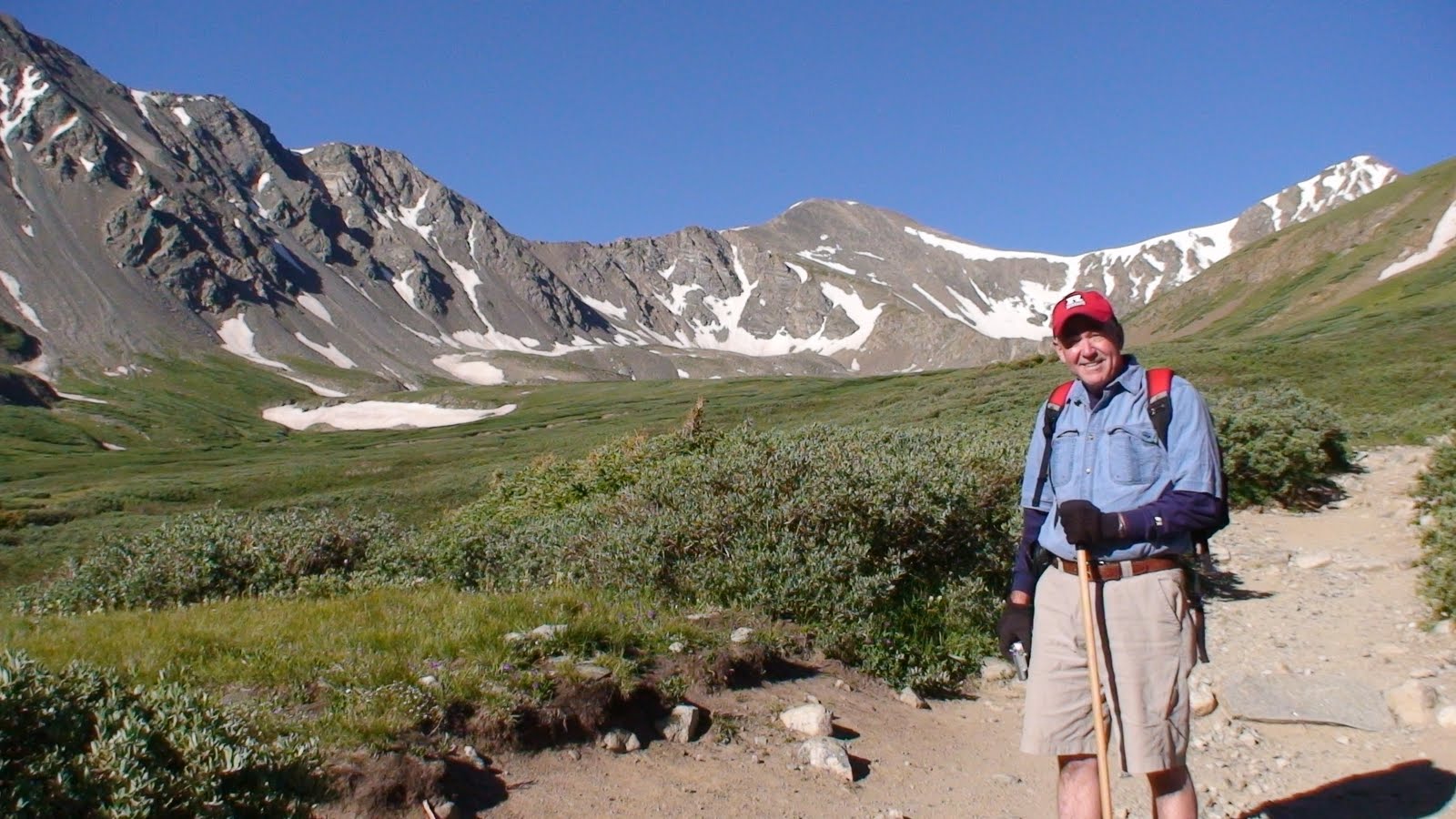
'Who's tired? I'm just waiting for everyone else to catch up..'

At this elevation, we can see over the ridge to the south and we get a view of Mt. Bierstadt with Mt.Evans to the left. We were there only a couple of days ago.....

Here's Ginny making her way up the trail...............

We're almost there now.................................


No comments:
Post a Comment